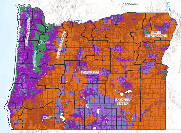
ODF Releases Statewide Wildfire Hazard Map
In partnership with Oregon State University (OSU), the Oregon Department of Forestry (ODF) has developed and released the Wildfire Hazard Map and an online tool to help Oregon residents evaluate the level of wildfire risk to their property.
ODF has stated that “the purposes of the map and the Oregon Wildfire Risk Explorer website are to:
- “Educate Oregon’s residents and property owners about the level of hazard where they live
- Assist in prioritizing fire adaptation and mitigation resources for the most vulnerable locations
- Identify where defensible space standards and home hardening codes will apply.”
This map sorts all of Oregon’s nearly two million properties into one of three categories based on wildfire hazard: low, moderate, or high. It also determines whether the property falls within a wildland-urban interface, an area of increased risk due to proximity to natural landscapes.
The release from ODF states: “To help protect these communities, future defensible space and home hardening building codes may apply to properties with both designations.”
To view the map and other tools on the Oregon Wildfire Risk Explorer, visit this website: https://tools.oregonexplorer.info/OE_HtmlViewer/Index.html?viewer=wildfire